
WALKING IN CIRCLES

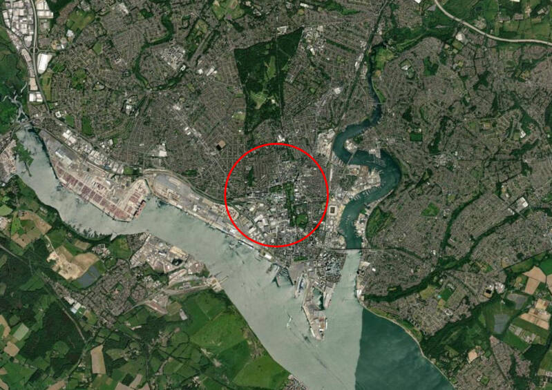


After drawing a perfect circle onto a city map, how closely can one trace that line on foot? Pavements ultimately determine where we may and may not go, their paths shaped by urban planning and the dominance of road networks, where the movement of cars takes precedence. In Southampton, this is particularly evident along the waterfront, much of which has been effectively privatised. Its access is largely reserved for cruise terminals and car parks. The notion of “public” space, then, becomes more constrained than it first appears.
Walking a circular route through the city offers a way to encounter it differently, outside the logic of direct travel and destination. By deviating from habitual paths and moving with intention rather than efficiency, we begin to notice what usually escapes us: the irregularities of infrastructure that interrupt our movement, and the quiet, unexpected moments of beauty embedded within the urban landscape.
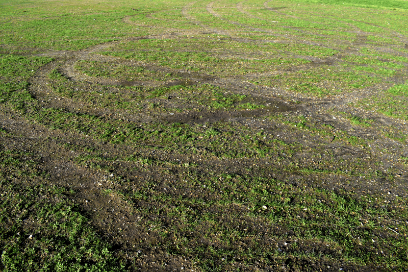

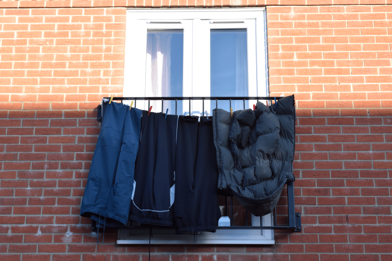
IN BETWEEN LINES


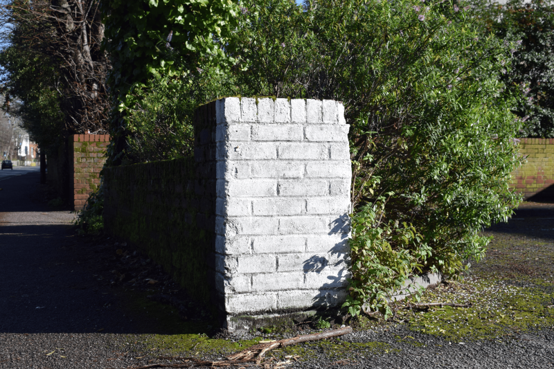
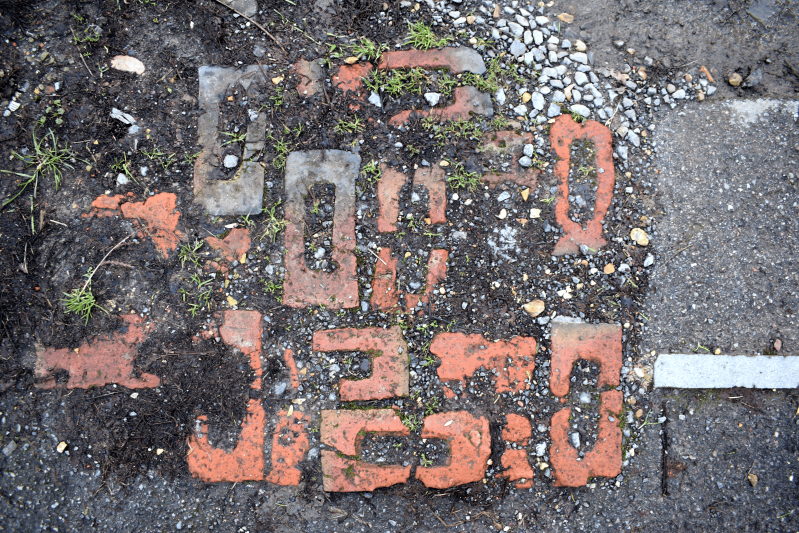
Tracing a double yellow line as it winds through a cul-de-sac, this video follows it closely to the point where it ends. What begins as a simple act of documenting its full length becomes a study of urban navigation, where markings intended to regulate movement instead become a means of wandering, re-reading the street as a site of intervention rather than transit.
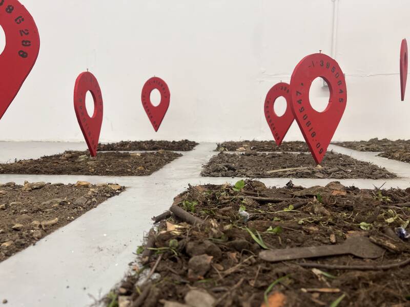
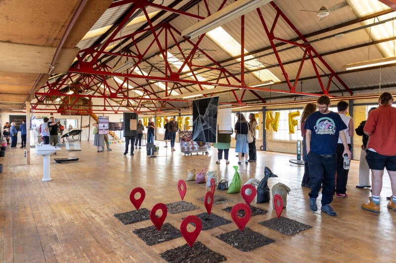
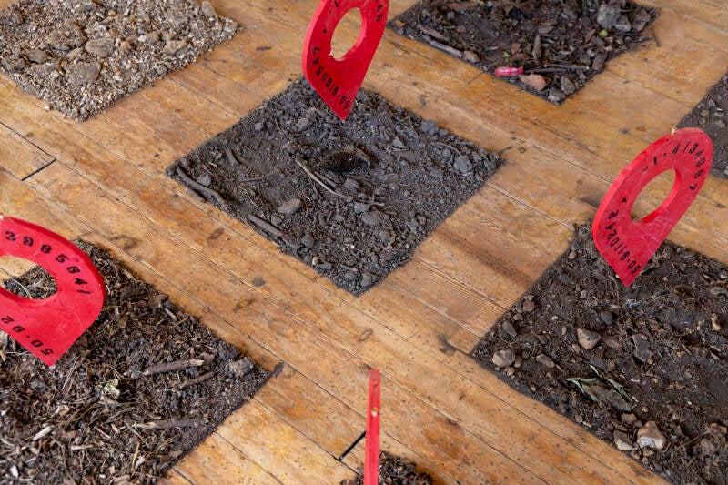
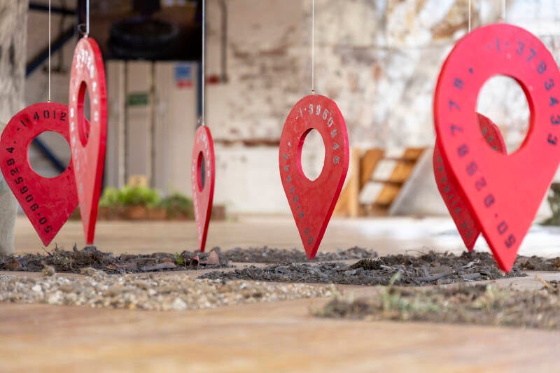
WALKING THE GRID

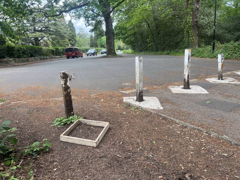
50.9202512, -1.4128217
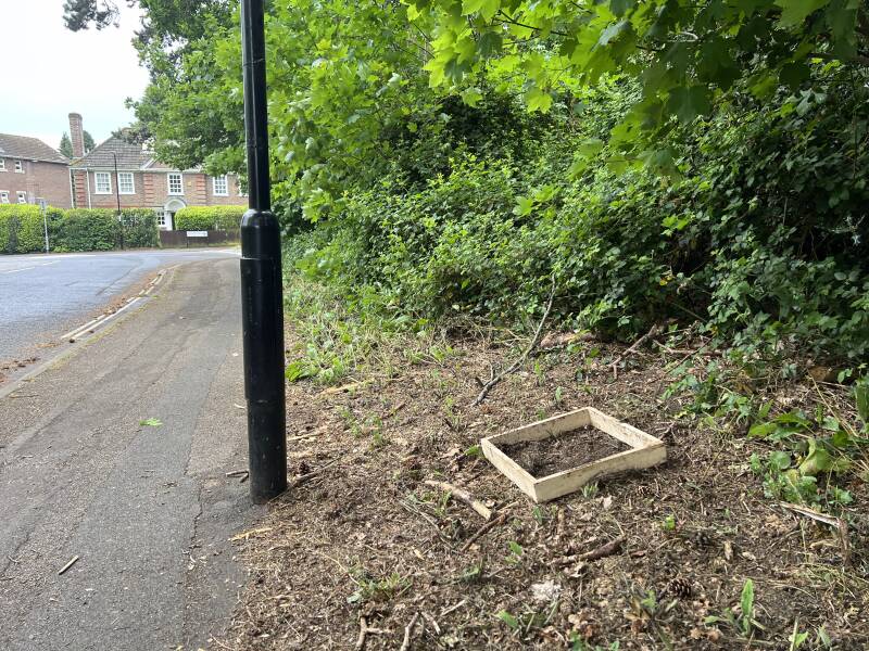
50.9268333, -1.3985641

50.9269778, -1.3783433
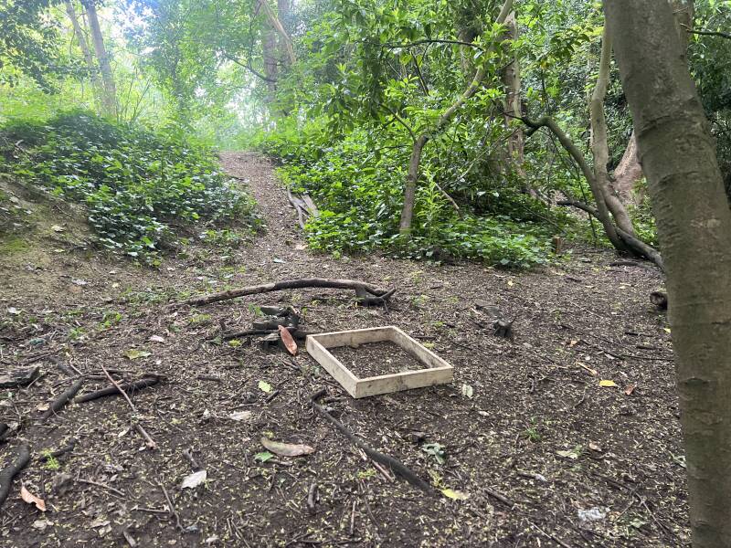
50.9110242, -1.4134967
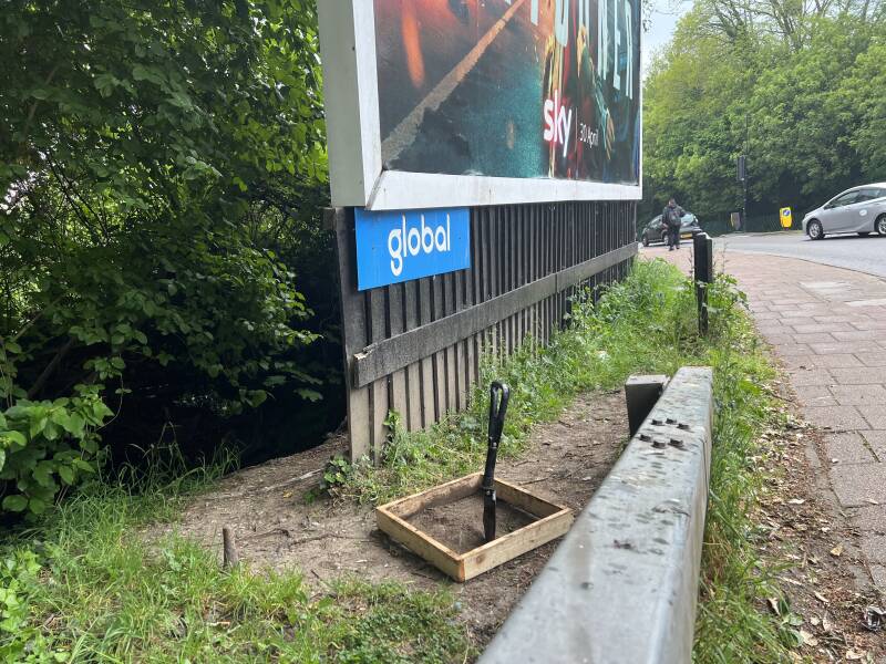
50.9190547, -1.3950645
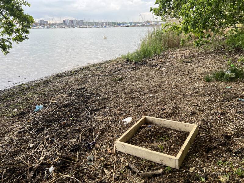
50.9140258, -1.372947
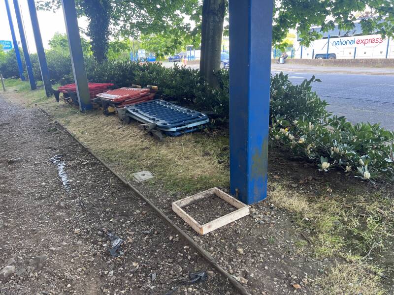
50.9058436, -1.4086298
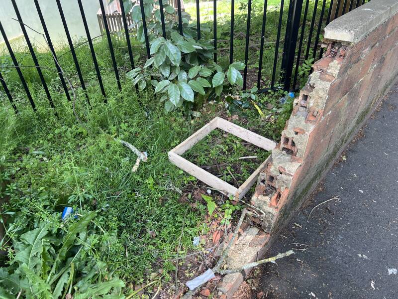
50.9065294, -1.4012316
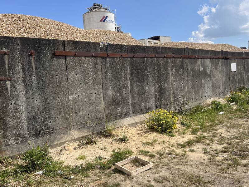
50.9063861, -1.3887754
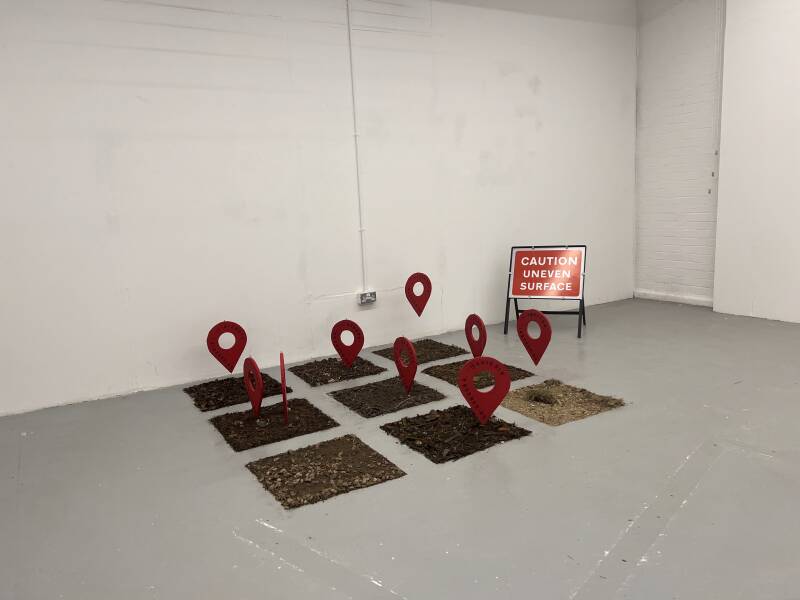
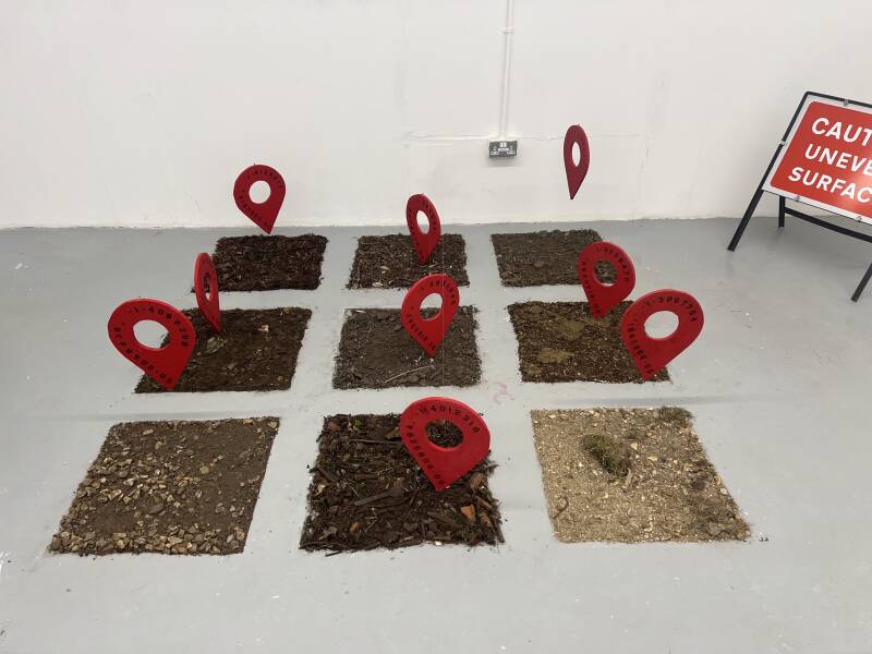

Images by Luke Shears